Park №16Pacific CoastEst. 1994
Death Valley
California·3,408,395 acres·November–March
“The hottest, lowest, driest park — a moonscape of salt flats and dunes.”
Best season
November–March
Trip length
2–3 days
Acres
3,408,395
Region
Pacific Coast
Plan your visit
Add Death Valley to your trip
★
Highlights
- Badwater Basin−282 ft — lowest point in North America, salt flats stretching to the horizon.
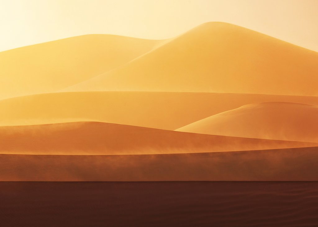
- Mesquite DunesRolling sand dunes most visitors photograph — Stovepipe Wells parking.
- Zabriskie PointWrinkled golden badlands best seen at sunrise from the overlook ramp.
Pro · The rest of Death Valley
Sign up for Pro to view every park.
You're previewing the basics. Go Pro to unlock every park's full guide — maps, top trails with stats, where to eat & sleep, day-by-day plans, fun facts, ranger picks, insider tips, signature activities, wildlife, side trips, and fees — plus unlimited stops in your itinerary.
- ✓ Every park unlocked
- ✓ Unlimited itinerary stops
- ✓ Official NPS park maps
- ✓ Top trails with difficulty + stats
- ✓ Where to eat & where to stay
- ✓ Day-by-day itineraries
- ✓ Wildlife, fun facts, insider tips
Sign inCancel anytime · Every park, every guide
/ featured in these trips